


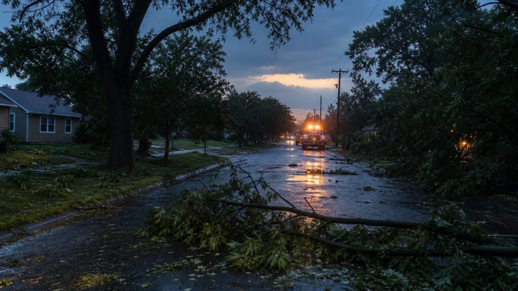
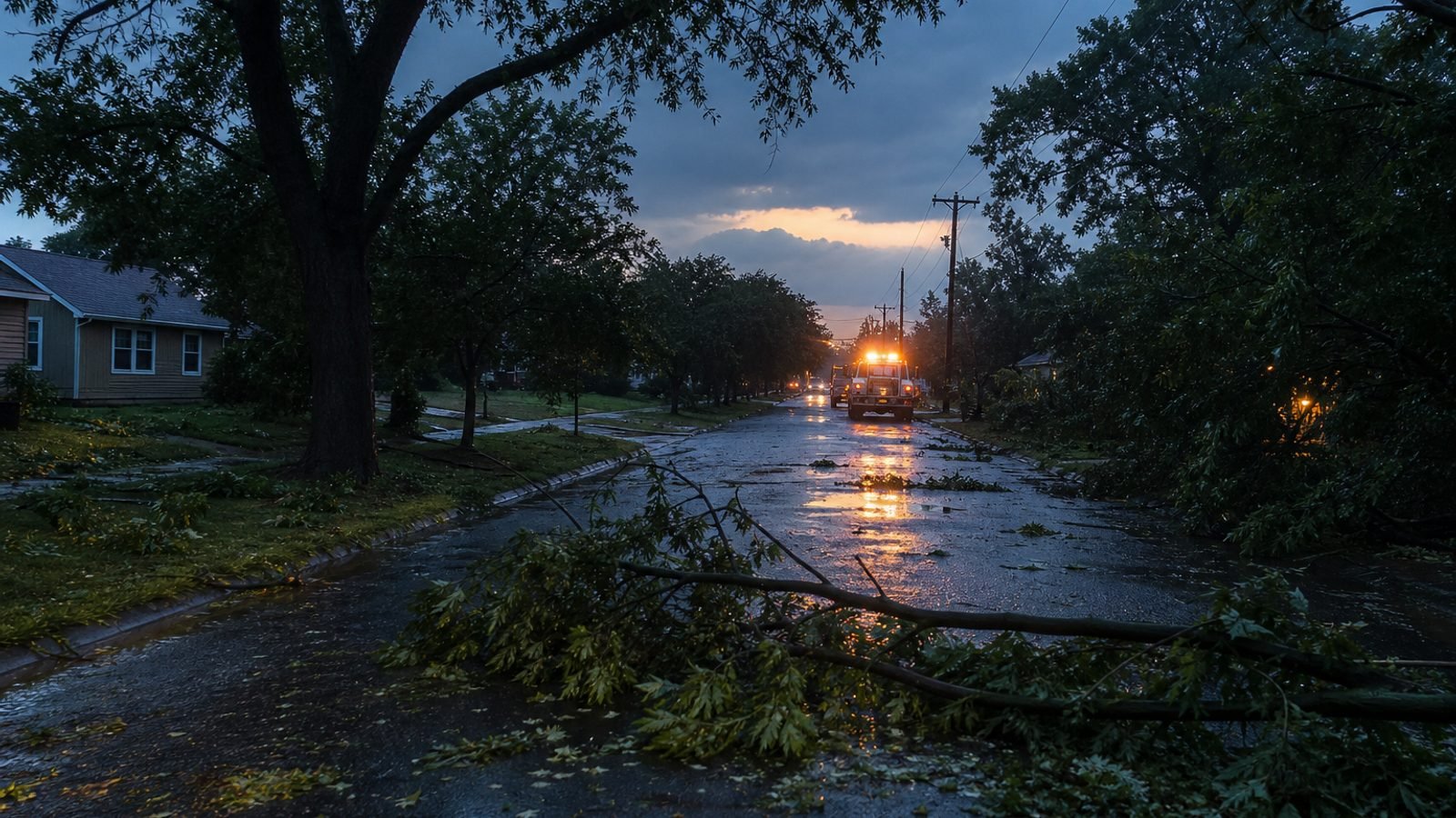
The Great Lakes did not get a quiet sendoff to summer.
Severe storms cut a 470-mile damage stripe from southern Michigan to Delaware on Thursday. Utilities were still counting more than 500,000 customers without power early Friday, mostly in metro Detroit and southeastern Pennsylvania, including Pittsburgh.
Friday night, NOAA’s Storm Prediction Center had another Level 2 of 5 out for a line from southern Michigan to northern North Carolina. About 30 million people were in that risk. The same corridor. The second night.
The local scoreboard
Detroit Mayor Mary Sheffield called the damage “significant.” Aerials showed at least one building destroyed and another with the roof gone.
Buffalo dumped more than 3 inches and broke a daily rain record that had stood since 1878. Streets flooded.
Springfield, Ohio, sent firefighters and police door to door after flash flooding. Pittsburgh public safety reported trees and power lines down in heavy rain.
In Washington, D.C., a large tree landed on a Capitol Hill row house Thursday night. D.C. Fire said everyone got out.
The pattern started Tuesday — days of rain, wind, and hail along the north edge of a heat dome parked over the central Mississippi Valley.
Where it goes for the holiday
Saturday the dome starts to break. The slight risk slides into North and South Carolina — Raleigh, Charlotte, Columbia. Sunday it leans toward Charleston and Savannah. Flash flooding becomes more isolated. Damaging wind does not clock out.
What this means for you
If you are between Detroit and Delmarva, treat downed lines as live. If you are driving south for Labor Day, the storm you dodged in Ohio may be waiting in the Carolinas.
Bottom line: half a million in the dark is not a “pop-up shower.” The Midwest took Thursday. Friday tried to finish the job. The Carolinas get the weekend.
GLHR NEWS explains the news. Not investment, tax, or trading advice. Do your own work before you act.