

The forecast stopped being a forecast.
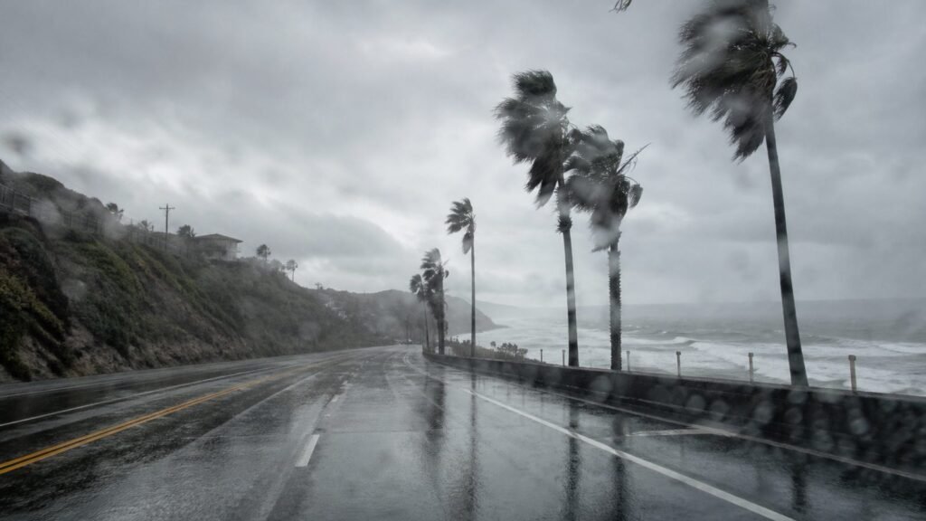
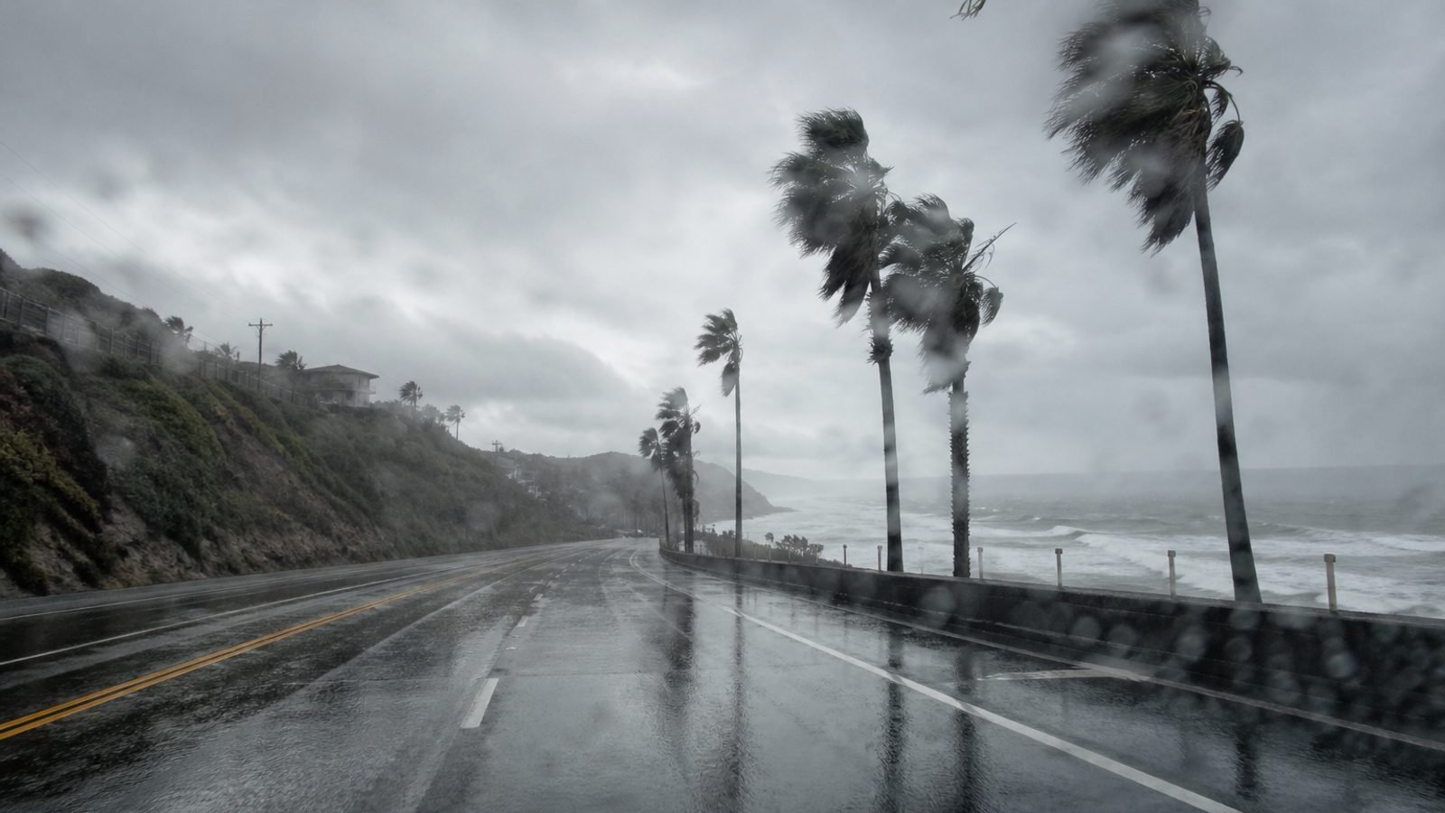
Hurricane Marie is still hundreds of miles off, a Category 1 near 75 mph, about 695 miles south-southwest of San Diego, northwest at 7 mph, weakening. Southern California is getting the leftover: tropical moisture that started Saturday night and a Sunday rain chance from about 5 a.m. through the evening, per NWS. Mostly light in Los Angeles County. Thunderstorm odds are on the board. Ventura can get wet too.
The ocean did not clock out. High surf and dangerous, potentially life-threatening rip currents run through Labor Day Monday. Coastal flood and high-surf language from Saturday still covers Malibu, Long Beach, Avalon, Point Mugu, Catalina through 11 p.m. Tuesday. South swell, high tides, slick roads because oil sat on dry pavement all summer.
Marie is expected to be a tropical storm by tonight and a post-tropical leftover off the coast by Thursday. That does not reopen the water.
What this means for you
If you packed a beach chair, pick a pool or a lifeguard and stay off the jetties. If you drive Sunday night into Monday, the first rain is ice as far as your tires are concerned. If you have a Monday flight out of LAX, build the wet-road hour.
Bottom line: Sunday was the wet day. It is happening. The storm misses California. The water does not.
GLHR NEWS explains the news. Not investment, tax, or trading advice. Do your own work before you act.