

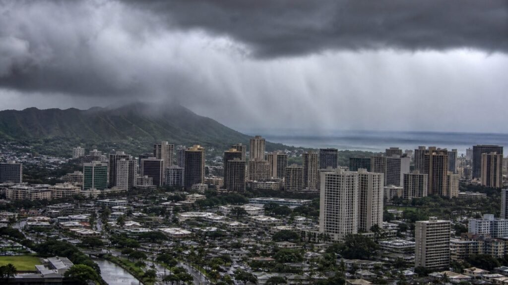
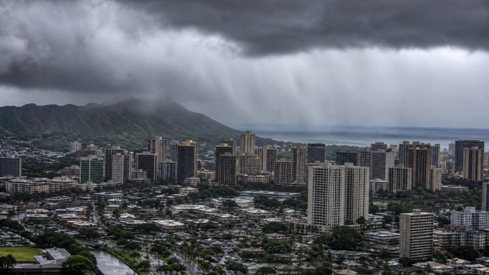
Honolulu is on the product now.
The Central Pacific Hurricane Center at 5 a.m. HST issued a tropical storm watch for Oahu. Tropical storm conditions are possible this afternoon, on a 12–24 hour clock — tighter than the textbook 48. Kauai County stays under a hurricane warning. Papahanaumokuakea, Nihoa to French Frigate Shoals, does too.
Hurricane Lowell is still a Category 3: 115 mph, 375 miles southwest of Lihue, 405 southwest of Honolulu, moving north-northeast at 14 mph. That is 40 miles closer and 4 mph faster than the 2 a.m. package. Pressure 950 mb. Hurricane-force winds still reach 60 miles. Tropical-storm-force winds 175. The core is forecast near or just west of Niihau tonight into early Tuesday. Then a turn northwest and a slowdown Wednesday.
NHC said it in one line: any additional eastward shift would require a tropical storm warning for Oahu. That is the next word to listen for.
The rain and the water went up
Kauai: 6–10 inches, isolated 16 — two inches more than last night’s isolated number. Oahu and Maui County: 4–8, isolated 10. Big Island: 4–8, isolated 12. Surge in Kauai County: 2–4 feet, highest on Kauai’s south shore and Niihau. Oahu still up to 1. Hurricane conditions on Kauai this afternoon or evening. Tornadoes still possible.
Preparations on Kauai were supposed to be done by midday. If you are on Oahu, this is not a Kauai-only graphic anymore. Charge the phone. Know the flood-watch map. Stay out of the water statewide.
What this means for you
If you are on Kauai or Niihau, the warning has not been walked back. Stay home. If you are on Oahu, the watch is the heads-up that Honolulu can get tropical-storm wind today, not next week. If you have a western-islands flight, treat it as cancelled until the airline says otherwise.
Bottom line: Oahu is on a watch. Kauai is still on a warning. Lowell is closer, faster, and still a 3.
GLHR NEWS explains the news. Not investment, tax, or trading advice. Do your own work before you act.