
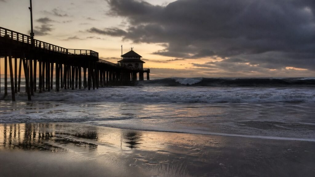
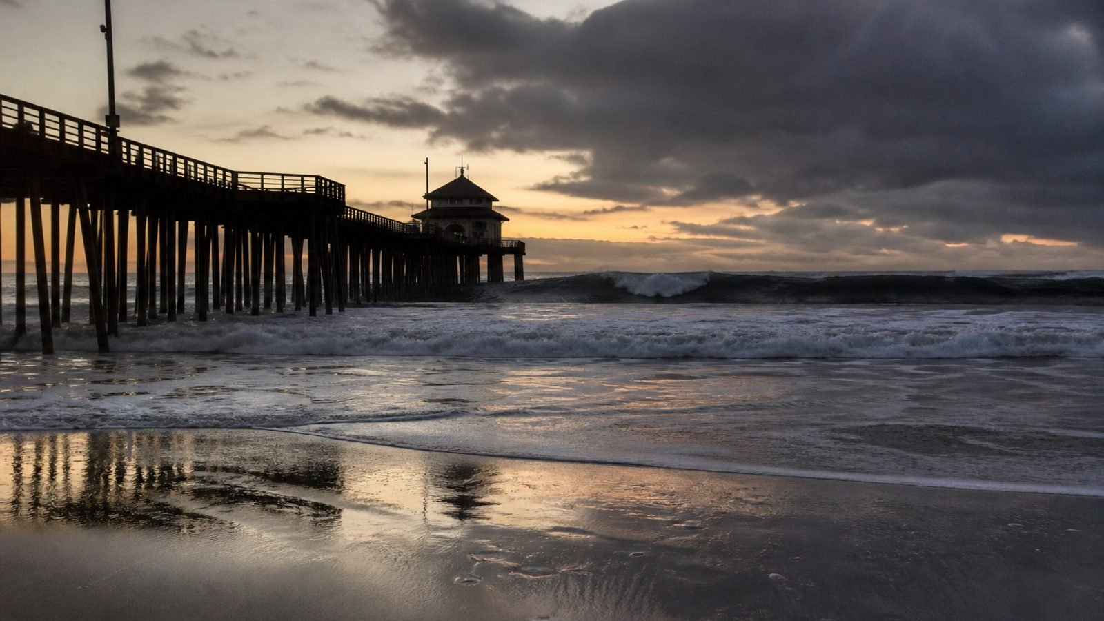
Labor Day on a Southern California beach just got a weather service quote: “The best course of action is to stay out of the water.”
That is NWS meteorologist Devin Black. Hurricane Marie is a Category 2 with 100 mph winds, still hundreds of miles off, tracking north and west of Baja. It does not have to land to ruin a weekend.
The Saturday–Tuesday clock
Coastal flood and high surf advisories cover Catalina, Santa Barbara Island, Malibu, Los Angeles, and Ventura from 6 a.m. Saturday through 11 p.m. Tuesday.
Rain starts Saturday night. Sunday is the wettest: widespread, light, under a quarter-inch in the basin, up to 0.75 in the San Gabriels. Thunderstorm odds 5–15% Sunday. Roads will be “quite slick” because oil sat on dry pavement for months.
Surf: 6–8 foot south swell, 5–8 foot breaks Sunday and Monday on the L.A. and Ventura coasts. Zuma 8–10. Rip currents “dangerous and potentially life-threatening.” Evening high tides stacked on that swell are why Avalon, Long Beach, Point Mugu, and Malibu still have a coastal-flood line.
Daniel Swain, the UC climate scientist: El Niño means one or two more tropical influences on California in September or October. Marie is not the last.
What this means for you
If you already packed the cooler, pick a pool or a lifeguard and stay off the rocks. If you have to drive Sunday, assume the first rain is ice as far as your tires are concerned.
Bottom line: the storm misses California. The water does not. Sunday is the day. The advisory runs through Tuesday night.
GLHR NEWS explains the news. Not investment, tax, or trading advice. Do your own work before you act.