

The wind is one product. The water is the other.
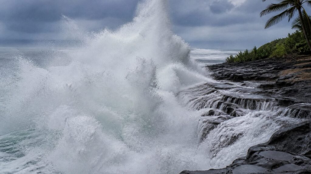
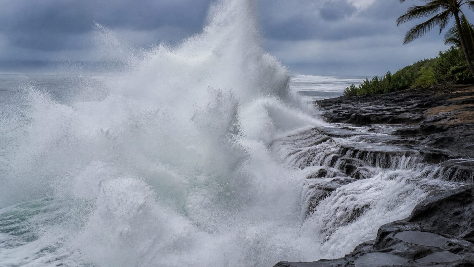
NWS Honolulu has a High Surf Warning on the south-facing shores of every island through 6 a.m. Tuesday (some local statements run the south-shore warning into Tuesday evening — read the latest county text). Kauai and Niihau: 7–10 feet this morning, building fast to 20–30 feet Monday afternoon and evening. Oahu south: 12–20. Maui County and the Big Island south: 12–16. West Big Island also under a warning, 12–16. East-facing shores of Oahu, Molokai, Maui, and Hawaii Island: a High Surf Advisory, 7–10, leftover Karina plus Lowell’s wind swell.
That is not a pretty south swell. Hawaii EMA: water can surge over beaches, benches, and roads. Coastal evacuations in Kauai County are possible. Harbor mouths, docks, boats — on the damage list. NWS named the roads: Poipu to Kekaha, with Lawai Road at particular risk of overwash.
Marie already proved the point on another coast this morning. Lowell does not need a landfalling eye to close a highway.
Stay off the shoreline. Do not drive a coastal road to “see it.” If a wave is taking the lane, it is not a photo. It is a rescue.
What this means for you
If you are on Kauai’s south or west shore, the surf warning is as loud as the hurricane warning. If you swim anywhere in the state today, don’t. If you have a boat in a south-facing harbor, it should already be out of the slip.
Bottom line: 20 to 30 feet on Kauai this afternoon. Warning through Tuesday. The ocean does not take Labor Day off.
GLHR NEWS explains the news. Not investment, tax, or trading advice. Do your own work before you act.